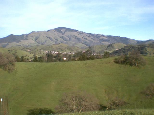
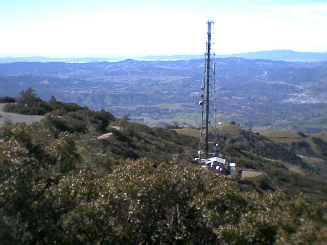
This is the view of Mt. Diablo from "Sugar Loaf" hill. Mount Diablo rises to an elevation of 3,850'. The following pictures are from an outing with my parents.
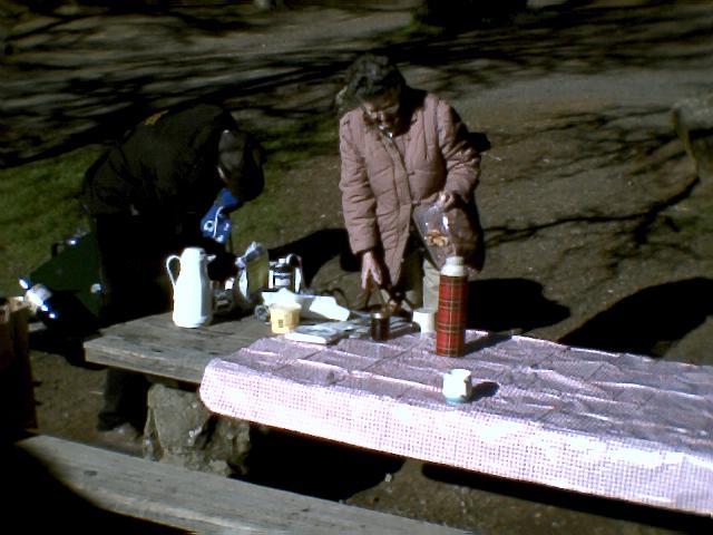
Here is my parents, Frank and Esther Bird getting breakfast ready on Mt Diablo in the picknic area called "Rock City". The weather was very beautiful and nice this particular day to have a nice breakfast picknic during the weekday. It was us and no one else.
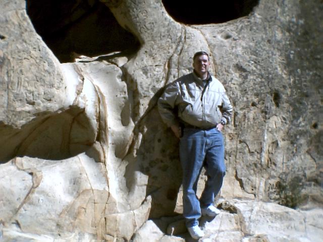
Rock City is one of the first picnic areas that you encounter on Mt. Diablo and the most interesting as you will see later.
This is one of the many rock formations in Rock City that have been carved by the wind and weather. These are all sandstone foramations. There is a black and white photo of me and my brother and sister somewhere in my parents photo files when we were just little kids. That was at a time when we would run around and play hide and seek climbing all around and hiding in various cave pockets throughout the area. Our parents would tell us to be careful because of the obvious danger of falling from a rock and getting injured or worse.
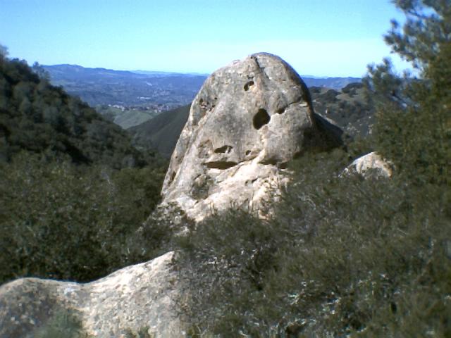
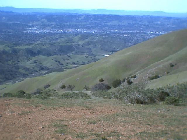
The view from Rock City is beatiful but is not as panoramic as some of the higher locations as you travel up the Mountain. Rock City is about 1200' . So some of the ridges around the Bay Area are still keeping the viewer from looking beyound those ridges.
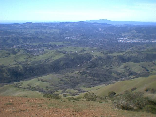
Below is a panoramic view of from the Juniper campground area. From here you can see the Walnut Creek and San Ramon area also the surrounding foothills. You can see Mt Tamopias off in the distance. It is north of San Francisco and nearly as high as Mt. Diablo. The California Redwoods are at the base of that Mountain.
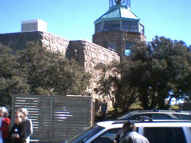
Here is the summit lookout. You can see further from this location than you can from any other location in California and I believe than any place else in the Continental United States..
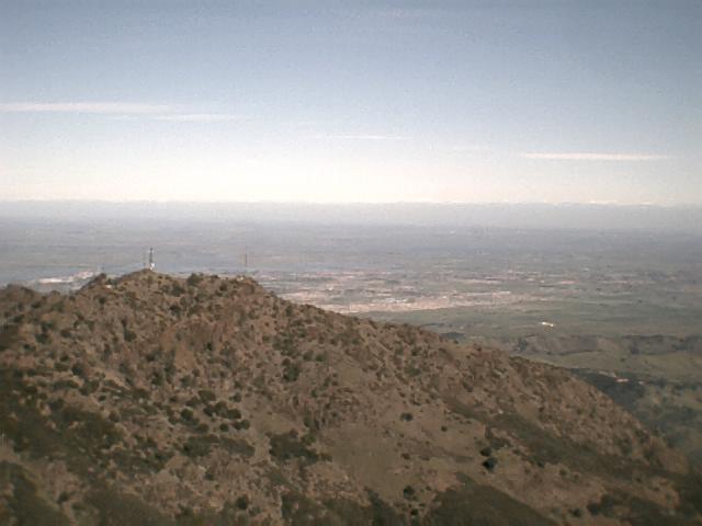
The view off to the East is the snow capped Sierra Nevada range and the fertile California valley below. You can see the Sacramento river make its way into the S. F. Bay.
Below,
Off to the west you once again can see Mt. Tamopias. But you can also see San Francisco's Sutro tower, skyscrapers, and the Golden Gate Bridge. On a very clear day you can see the Fairlon Islands out about 20 miles further in the Pacific Ocean.
Mt. Tamopias
S.F.
Golden Gate Bridge
Walnut Creek
Sugar Loaf Hill>
My parents house>
<Laffeyette
<Orinda
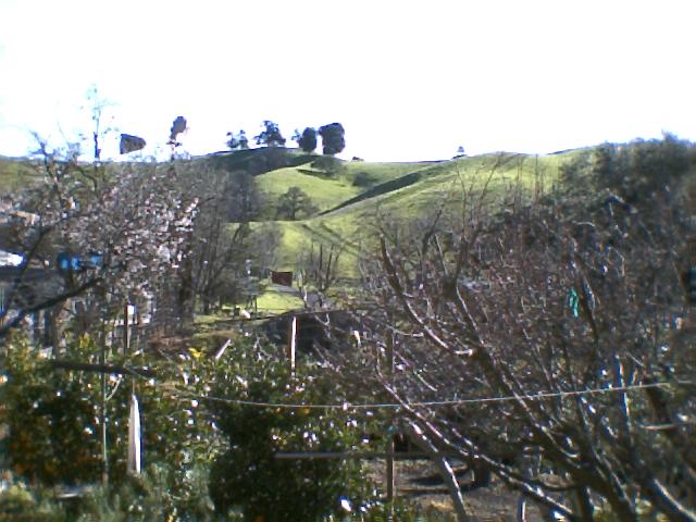
Here is the view of "Sugar Loaf Hill" from my parents backyard. A pleasant view from their kitchen table or living room.